
Looking Up El Paso County Neighbors
A block-level neighbor question usually asks for place, not a full person profile. Start with the target address, then identify the parcel and municipal context. The public sources below can describe nearby land, an owner-linked card, a civic boundary, a public project, or a historical community connection. They do not all list residents, and no row should be stretched beyond its record purpose.
The coverage table keeps a block lookup grounded. Use the official source that fits the question, and move to the custodian when a map, record, or protected field needs clarification.
| Source | What it shows about a block | Access |
|---|---|---|
| Assessor property card | Owner, mailing, situs, parcel, legal description | Public portal; office copy for legal use |
| County parcel GIS | Adjacent polygons, parcel IDs, street and map geometry | REST layer and map service |
| SpringsView | Colorado Springs address or 10-digit parcel context | City map viewer |
| Voter lists and maps | Defined public fields and precinct geography | El Paso Elections request route |
| Neighborhood Plans or Watch | Planning area or small volunteer group context | Official city pages; not a roster |
| Cemetery and archive sources | Dated community, burial, map, or historical connection | City, Evergreen, PPLD, CSPM |
The word should describe a block or community relationship, not a claim that an owner, voter, or burial record identifies every current household nearby.
Map Adjacent Parcels Around an El Paso County Block
The cleanest block workflow is a process from address to geometry to independently checked records. Begin with the Assessor schedule or parcel number. The property card can separate Owner, Mailing Address, Location, Plat Number, and Legal Description. Then use the county GIS layer or SpringsView to see the parcel shape and its edges. Record adjacent parcel IDs, streets, subdivision, municipal line, query date, and map layer.
Follow the chain as a map exercise, not as a name scrape:
- Normalize the address and confirm the situs in the Assessor card.
- Open the county parcel service or SpringsView and identify the target polygon.
- Note each adjacent parcel and street edge without assigning a person from proximity.
- Open a neighboring parcel through the official property route only when the research purpose allows it.
- Compare a permitted voter, plan, cemetery, or historical source only if its own scope fits the question.
This flow can reveal a block’s shape, subdivision, and record custodian. It cannot show private utility, delivery, or household-member data.
El Paso County GIS Shows Neighbor Parcels, Not People
The county parcel REST service is a technical layer with a PARCEL display field, hyperlink, object IDs, geometry measures, query tools, and a maximum record count of 2,000. It supports map and data output, but the layer is not a resident-facing directory. The County Digital Strategy and Technology program describes standard, custom, free, and licensed GIS products, including 2024 aerials and historic aerial years 2003, 2005, 2007, 2009, 2011, 2014, 2016, 2018, 2020, and 2022.
For an El Paso County block lookup, record the layer date and parcel ID before opening a property card. A map can show that two parcels touch. It cannot prove that the names attached to those parcels know one another, share a household, or occupy the property today.
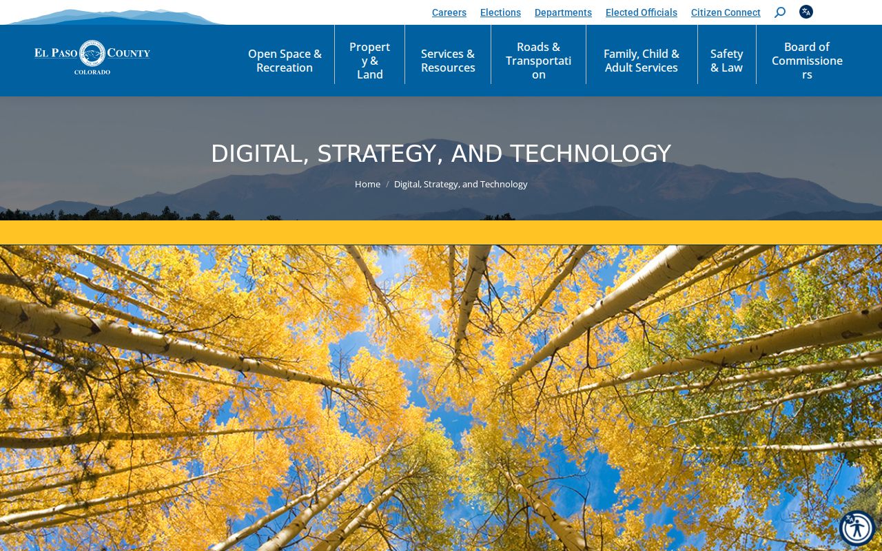
The El Paso County GIS and digital strategy page describes the county’s map-data context and product limits.
El Paso County Neighborhood Plans and Watch Groups
Colorado Springs Neighborhood Plans show official planning boundaries. Neighborhood Watch groups commonly cover one or two blocks and use an application, memorandum of understanding, and block-captain training. These are different from a countywide neighbor directory and different from a plan boundary. The Council of Neighbors and Organizations and named places such as Patty Jewett illustrate how a civic organization and a planning area can overlap without having the same members.
Use the official page to learn what the group or plan means, its date, and its area. Do not assume that an area boundary is a resident roster, or that a volunteer group speaks for every address. The community layer is useful for place research, outreach, and local history when its own purpose is respected.
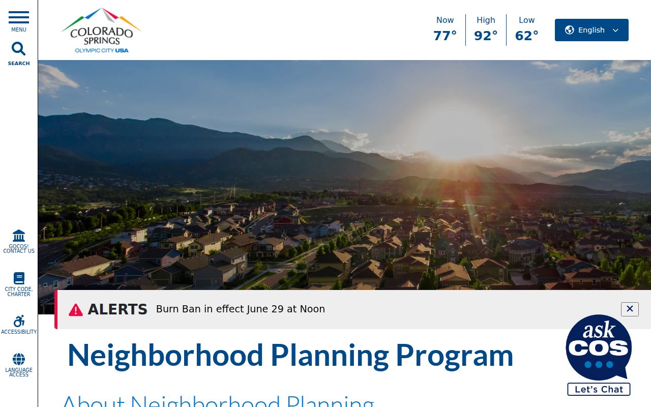
The Colorado Springs Neighborhood Plans page shows the planning-boundary side of the El Paso County block picture.
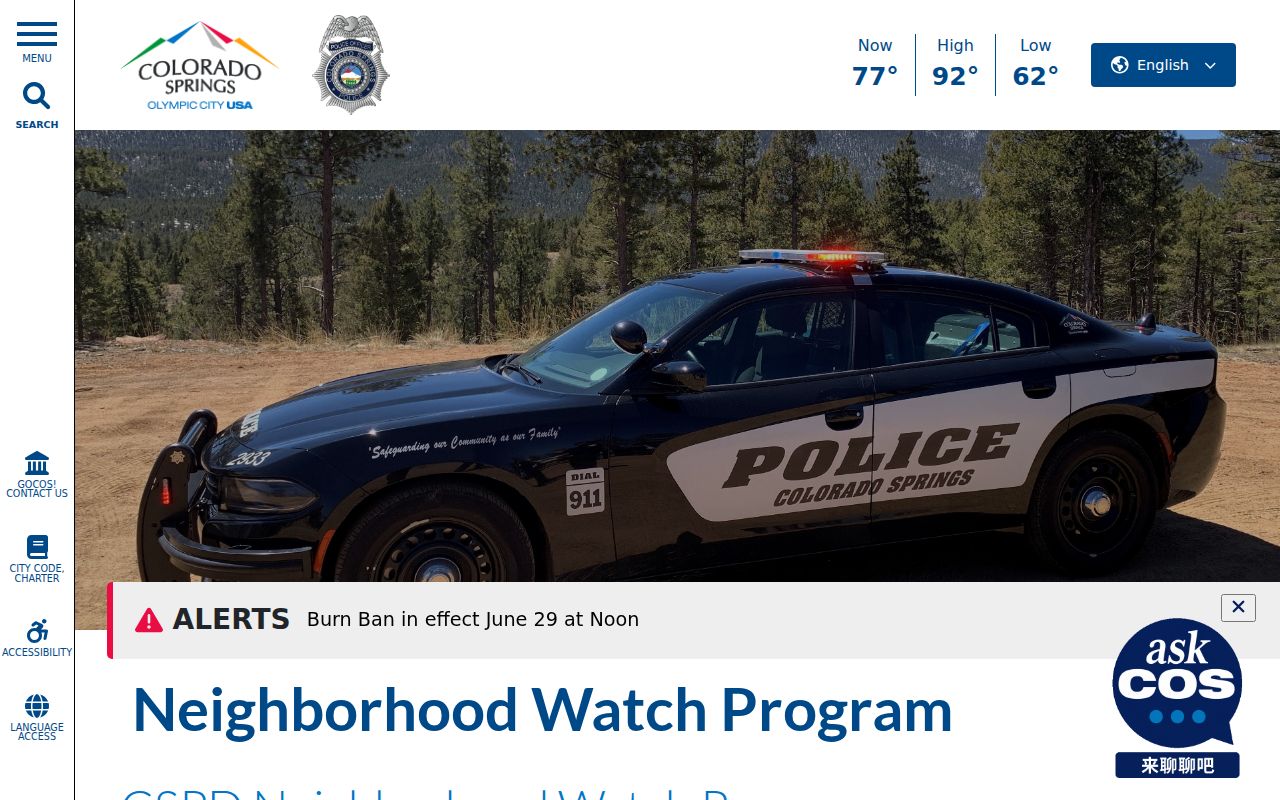
The Colorado Springs Neighborhood Watch program explains the small-group civic route around a block.
Official El Paso County Neighbor Records Around a Block
The Assessor and Recorder can connect a block to named owners or recorded parties, while El Paso Elections can supply defined public voter fields. The public sources still have separate limits. Owner, mailing, and situs are not the same field. A deed party may be a trust, business, or estate. A voter record may be confidential, inactive, cancelled, or absent from a self-service result.
El Paso Elections says normal voter products can include name, residential address, party affiliation, affiliation date, phone if supplied, gender identity if supplied, birth year, and vote history. Social Security number, driver-license number, full birthday, email, ballot envelope, and signature are private. Confidential voters can request future list protection. The Colorado Address Confidentiality Program can provide an eligible survivor with a substitute address and mail forwarding.
For a block question, write the relationship exactly: “owner field on parcel card,” “recorded grantee,” or “voter product field.” That wording keeps an El Paso County neighbors lookup from becoming an unsupported occupancy claim.
El Paso County Development Records Show a Changing Block
Public development tools can explain why a block looks different from an older map. The Colorado Springs development tracker maps applications after January 1, 2024 and updates every two weeks. County Planning’s dashboard covers active and approved applications in unincorporated El Paso County for 2023 through 2026. The city LDRS has a separate parcel and tax-schedule route, with records before and after August 8, 2022 and an account needed for documents.
These dashboards show applications and projects, not every person using the surrounding parcels. Record the jurisdiction, date window, application type, address, and map point. A blank result outside the stated window is not a historical negative.
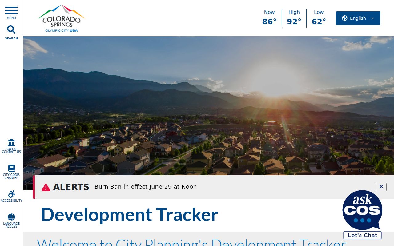
The Colorado Springs development tracker gives a dated project layer for the city part of an El Paso County neighbors lookup.
El Paso County Cemeteries Preserve Community Links
A neighborhood question can have a historical or family-history answer rather than a current household answer. Evergreen Cemetery began around 1871 and was deeded to the city in 1875. The city’s cemetery material covers Evergreen and Fairview, and the Evergreen search provides burial records. The city’s 2025 annual report says Evergreen has more than 90,000 burials. These records show burial, ownership, transfer, or community continuity at a date. They do not show a current neighbor list.
Use a cemetery entry with a directory, obituary, map, or archive item when researching who was connected to a place. Preserve the burial name, date, section, and source. Avoid inferring a living person’s address from a relative’s burial record. The cemetery route is a human-scale way to add context when current records are restricted.
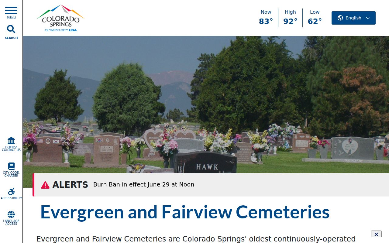
The City of Colorado Springs cemetery resources describe Evergreen and Fairview as official community records.
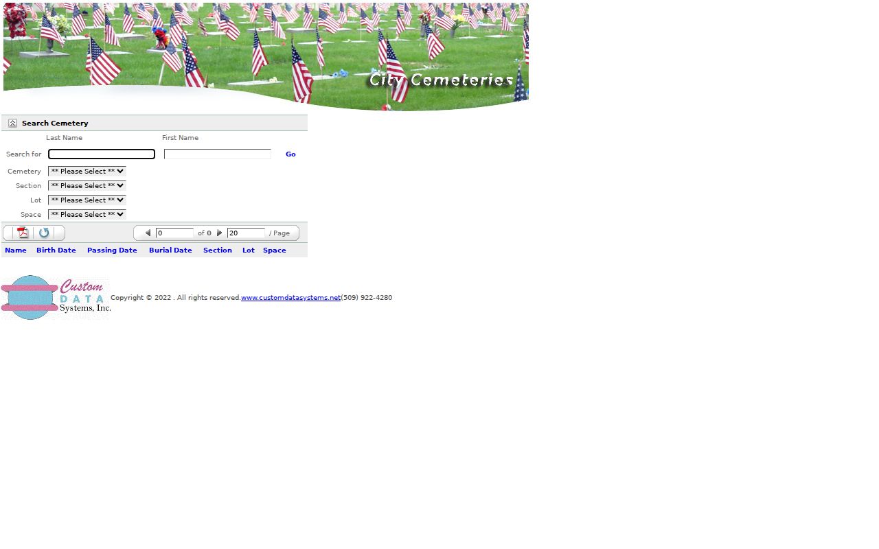
The Evergreen burial search offers a separate dated route for cemetery research.
El Paso County Neighborhood Labels Do Not Equal Rosters
El Paso County neighborhood names can be planning labels, historic place names, postal references, subdivisions, or volunteer-group terms. An official plan boundary is not the same as an association membership list. A watch group can cover one or two blocks without representing every address. A cemetery, directory, or newspaper can connect a person to a community without identifying all of its households.
When a label matters, use the organization’s own definition and date. Compare it with the parcel map and municipality. Keep the result as place history or civic context. If a source does not publish a roster, do not infer one from nearby owner cards or map points.
| Community source | Safe description |
|---|---|
| Neighborhood Plan | Official planning area or policy context |
| Neighborhood Watch | Volunteer group structure and safety activity |
| Council of Neighbors and Organizations | Regional civic connection named in local planning material |
| Directory, obituary, or cemetery | Dated person or household connection to a place |
Move From an El Paso County Neighbor Block to a Full Street
A block map answers who or what sits close to one parcel. A whole-street question needs a wider address chain. The El Paso County street directory follows the Assessor, GIS, PPRBD, Recorder, voter, and historical address layers street by street. Use that route when adjacent parcels are not enough and the goal is to understand the full named road.
Keep the handoff clear. Neighbor research records parcel IDs, block edges, civic boundaries, and local context. Street research expands the set of addresses and checks each one through its own custodian. Both approaches need the same caution about owner, mailing, situs, voter, and historical fields.
Privacy Limits on El Paso County Neighbors
A neighbor lookup cannot reveal every household member, utility customer, delivery record, protected voter, ACP address, or confidential vital record. Court, jail, DOC, and CBI information is limited by its purpose and can be volatile or restricted. Public property records still need context because an owner may receive mail elsewhere and a parcel may have several occupants or none.
Do not publish a stitched block list simply because separate public fields can be joined. Preserve redactions, identify the custodian, and describe a result as a parcel, recorded party, voter field, project, or historical connection. Ask the official office when the record is unclear.
Lawful use. El Paso County neighbor research can support civic awareness, family history, reconnecting, and personal safety. Never use a block or address trail to stalk, harass, intimidate, or harm another person.
| Route | Useful strength | Limit |
|---|---|---|
| Official parcel and voter records | Defined fields and named custodians | Privacy, scope, date, and occupancy limits |
| Library, cemetery, or archive | Dated community and family context | Historical gaps and publication limits |
| Commercial neighbor category | May produce a broad lead | Mixed sources, false matches, freshness, and lawful-use concerns |