
El Paso County ZIP Codes Across the Map
The research list for El Paso County was compiled from county, Census, address, and ZCTA checks. It is a working county-touching or service list, not a guaranteed exhaustive current USPS list. The USPS county lookup is dynamic, and the research capture did not expose a stable text list. The table preserves that limit rather than assigning an unsupported post office to each code.
Use the exact El Paso County address and USPS result when mailing a request. Use the Census layer when the task is statistical or geographic. Use the Assessor or parcel map when the task is property-based. Those three sources may show related places while using different boundaries.
| ZIP group in working list | Areas or use | Post office | Notes |
|---|---|---|---|
| 80106, 80132, 80133 | County-touching or service codes in the research list | Confirm through USPS | Not a certified exhaustive county list |
| 80808, 80809, 80817, 80819 | Eastern or rural entries checked for county geography | Confirm through USPS | Routes and ZCTAs can cross county lines |
| 80829, 80831, 80832, 80833, 80840, 80864 | Additional county-touching service entries | Confirm through USPS | Use the address, not the group label, for mail |
| 80902 through 80930 | Colorado Springs urban entries in the working list | Confirm through USPS | Individual codes have different delivery geography |
| 80938, 80939, 80951 | Additional 809 entries in the county research checks | Confirm through USPS | Check current routing and municipality |
The table is a research aid. The current USPS ZIP lookup by county controls when a complete mailing list is needed.
USPS ZIP Codes Versus Census ZCTAs
USPS ZIP Codes are routing constructs. Census ZCTAs are statistical approximations built from residential and business ZIP geography. Census guidance says 2020 ZCTAs represent valid USPS ZIP Codes as of January 1, 2020, but not every valid ZIP is represented. A ZCTA label is therefore useful for population, unit counts, area, and map work, while a USPS result is the right source for a delivery address.
That distinction matters in the El Paso County ZIP code directory. A Colorado Springs address can sit near a county or city edge. A rural code can serve a route that does not match the county line. A ZCTA can contain land or addresses beyond the precise delivery pattern. Keep the geography type in every note.
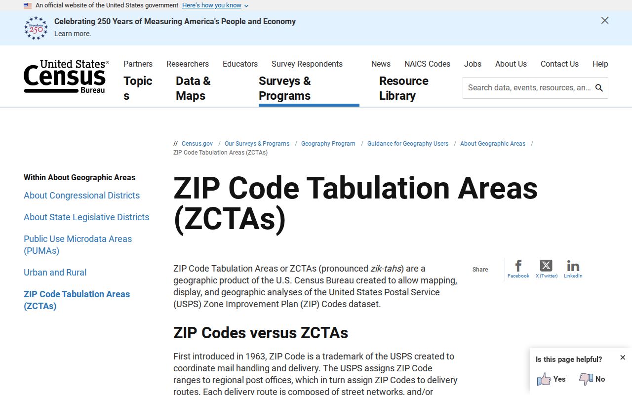
The Census ZCTA guidance explains why statistical ZIP geography should not be treated as a USPS delivery boundary.
Find El Paso County Residents by ZIP Code
A ZIP code search is most useful after a name or address has been narrowed. The Colorado voter lookup requires first name, last name, ZIP, and full birthday. The form also says to try a former ZIP after a recent move. PPRBD address results return ZIP and city. The CBI adult request form accepts ZIP as one public-safety search type. The Assessor interface did not expose a standalone ZIP filter in the inspected opening form.
Use this sequence for a defined personal, family-history, or civic question:
- Confirm the current or historical address spelling and the municipality before choosing a ZIP.
- Use USPS to validate the mailing ZIP, or use Census TIGERweb when the task is a ZCTA map or statistic.
- Run the name and ZIP only in an official portal whose stated purpose fits the question.
- Compare the result with an address, parcel, deed, directory, or custodian response, keeping the retrieval date visible.
- If there is no result, try a former ZIP or a normalized address only when the portal itself recommends that step.
A match is a search aid, not proof of residence. A ZIP code can narrow a route while an address, parcel, or official status record answers the actual question.
Colorado Voter ZIP Fields Are Specific
The Secretary of State voter form makes ZIP a required input because it helps separate people with similar names. It is an individual self-service confirmation tool, not a bulk El Paso County ZIP code directory. The page warns that confidential voters or people under 18 may not appear, and it suggests a former ZIP after a move. A no-result message should be recorded as no result in that form and query.
County Elections sells voter lists, labels, and maps under a separate request process. The county page says regular public fields can include full name, residential address, party affiliation, affiliation date, phone if supplied, gender identity if supplied, birth year, and vote history. It identifies Social Security numbers, driver-license numbers, full birthday, email, ballot envelope, and signature as private. Confidential voter records can be removed from future products.
Use an El Paso County ZIP as one field in a dated status check. Do not treat a ZIP match as a complete address match or use another source to reconstruct a protected address.
Assessor Addresses Beat a Missing ZIP Filter
The El Paso County Assessor portal searches by Schedule / Parcel Number, Address, or Owner Name. It can sort and display results by schedule, address, or owner, and a property card can show Owner, Mailing Address, Location, Plat Number, Legal Description, Zoning, and values. A ZIP filter was not exposed as a standalone initial control in the inspected configuration. That is a useful result: when a parcel is the real key, search the street or schedule number instead of forcing a ZIP query.
Keep mailing and situs separate. If a ZIP mismatch appears, compare the full address, municipality, parcel, plat, and legal description. Follow a deed link into the Recorder when a recorded transaction matters. ZIP geography can change how a form routes a request, but it does not replace the parcel key.
- ZIP Code
- A USPS routing code used to sort and deliver mail.
- ZIP+4
- An expanded delivery code that is more precise than the five-digit ZIP, when supplied by the custodian.
- PO-box ZIP
- A code used for a postal facility or box route rather than a street parcel.
- Carrier route
- A delivery path within postal geography, not a legal boundary or resident list.
Read the El Paso County TIGERweb ZIP Layer
The Census TIGERweb ZCTA layer supplies fields such as GEOID, BASENAME, NAME, ZCTA5, land and water area, population, unit totals, centroid coordinates, and object ID. Query support makes it useful for a map or a reproducible geography note. It does not supply a current USPS list, and it does not turn a ZCTA into an individual resident directory.
Record the layer name, Census vintage, query date, ZCTA label, and whether the output is a map, table, or statistical feature. A ZIP code directory page can then distinguish an official postal lookup from a statistical map. If an address falls near an edge, return to USPS and the local custodian before choosing a route.
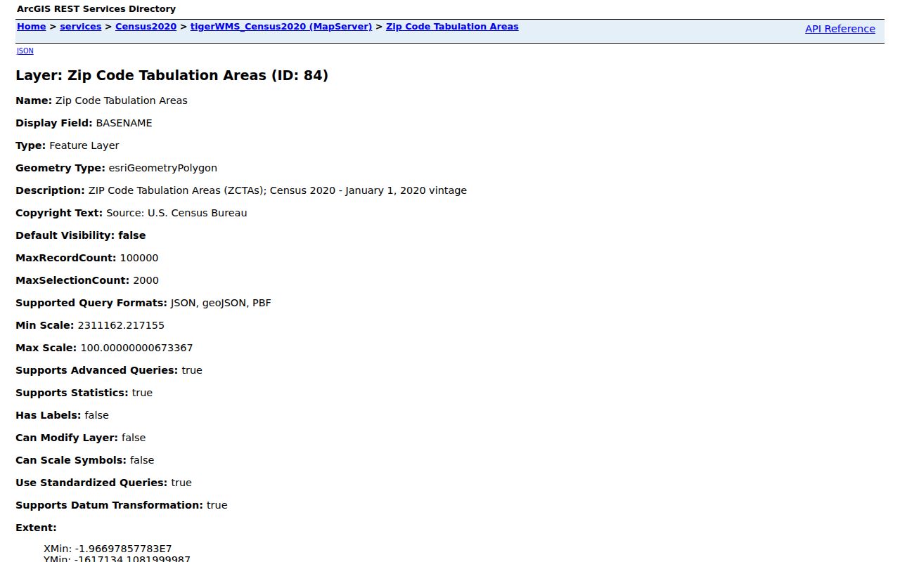
The Census TIGERweb ZCTA layer provides the geography fields behind a map-based ZIP code directory check.
ZIP Boundaries and El Paso County City Limits
A ZIP boundary and a city limit answer different questions. El Paso County includes Colorado Springs, Fountain, Manitou Springs, Monument, Palmer Lake, Calhan, Green Mountain Falls, and Ramah, plus unincorporated territory. A single ZIP can serve addresses in more than one municipal context, while one city can carry several ZIPs. Permit, court, election, cemetery, and CORA routes follow the record custodian, not the ZIP label alone.
For an address near a line, compare USPS routing, the Assessor parcel, the county or city GIS layer, and the municipality shown by the official record. The working list includes 801, 808, and 809 codes because county-touching routes and ZCTAs do not stop at a simple county outline. Treat the list as a prompt for verification.
USPS Results Need a Retrieval Date
The USPS county lookup is dynamic, and the research capture did not expose a stable static El Paso County list. That means a published ZIP inventory can age even when the code itself remains familiar. Save the returned code, address form, county selection, and retrieval date. If a record request is mailed, use the address format supplied by USPS or the custodian.
The same date discipline applies to portals. The voter form, permit results, Assessor data, and public-safety pages can change. A ZIP code directory is more useful when it says whether a code came from USPS, Census, a county address result, or a working research list.
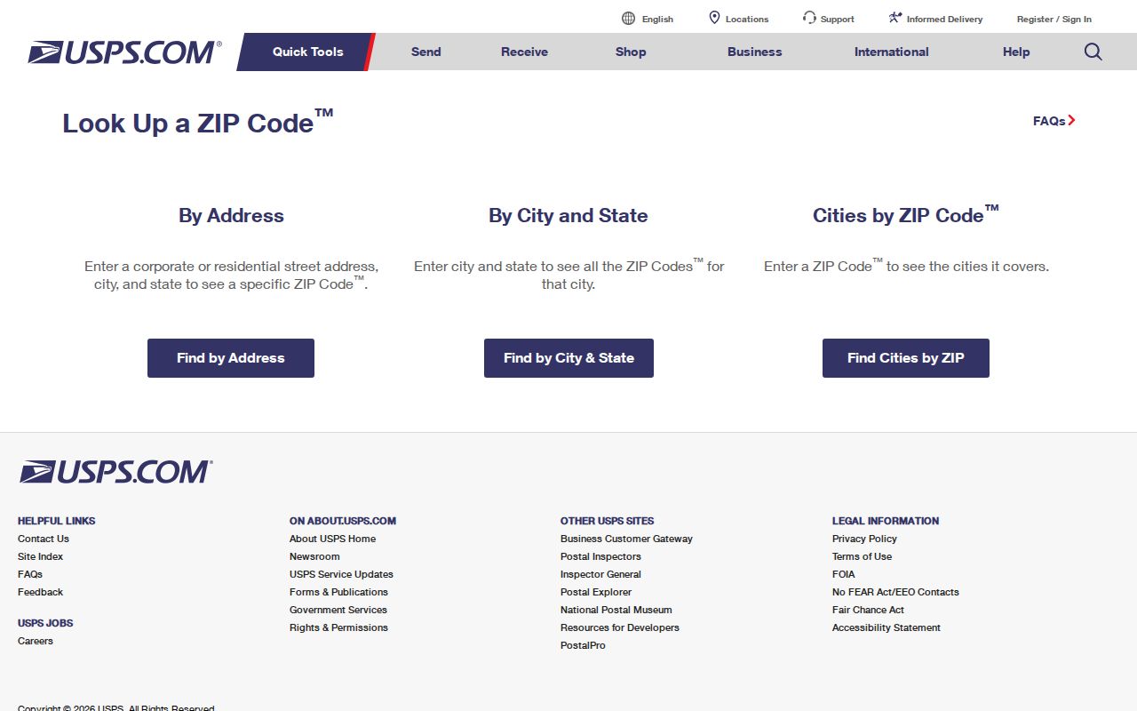
The USPS county ZIP lookup is the live route for confirming current mailing geography.
Limits of the El Paso County ZIP Code Directory
A ZIP code can help find a route, narrow a voter form, group a map, or sort an address result. It cannot show every household, prove a person’s residence, or replace the parcel, deed, city, court, vital, library, or election custodian. A former ZIP may matter after a move, a PO-box code may not locate a street parcel, and a ZCTA may not include every valid USPS code.
Use the ZIP code directory as the first geographic filter, then hand the question to the right record system. For street-level work, the El Paso County street directory follows parcel and address keys. For one person, use a narrow resident lookup that keeps source purpose and privacy limits visible.
Geography note. USPS ZIP Codes, Census ZCTAs, city limits, and county lines are related but not interchangeable. Confirm the boundary type before drawing a conclusion.